Returns the boundaries of Spain as a single sf POLYGON at a
specified scale.
Source
https://gisco-services.ec.europa.eu/distribution/v2/.
Copyright: https://ec.europa.eu/eurostat/web/gisco/geodata/administrative-units.
Arguments
- moveCAN
A logical
TRUE/FALSEor a vector of coordinatesc(lat, lon). It places the Canary Islands close to Spain's mainland. Initial position can be adjusted using the vector of coordinates. See Displacing the Canary Islands inesp_move_can().- ...
Arguments passed on to
esp_get_nutsyearYear character string or number. Release year of the file. See
giscoR::gisco_get_nuts()for valid values.epsgCharacter string or number. Projection of the map: 4-digit EPSG code. One of:
"4258": ETRS89."4326": WGS84."3035": ETRS89 / ETRS-LAEA."3857": Pseudo-Mercator.
cacheLogical. Whether to cache downloaded files. Defaults to
TRUE. See Caching.update_cacheLogical. If
TRUE, refreshes the cached file and forces a new download. Defaults toFALSE.cache_dirCharacter string. A path to a cache directory. See Caching.
extCharacter. Extension of the file (default
"gpkg"). SeegiscoR::gisco_get_nuts().verboseA logical value. If
TRUEdisplays informational messages.resolutionA character string or numeric value with the geospatial data resolution. One of:
"60": 1:60 million."20": 1:20 million."10": 1:10 million."03": 1:3 million."01": 1:1 million.
Value
A sf POLYGON object.
Details
Dataset derived from NUTS data provided by GISCO. Check esp_get_nuts() for
details.
Caching
Functions that download data store files in cache_dir. When cache_dir
is NULL, they use the active package cache, which defaults to a temporary
directory. Set update_cache = TRUE to replace an existing cached file.
See Caching strategies in esp_set_cache_dir() to configure a
persistent cache.
See also
NUTS boundary datasets:
esp_get_nuts()
GISCO boundary data:
esp_get_ccaa(),
esp_get_munic(),
esp_get_nuts(),
esp_get_prov()
Examples
# \donttest{
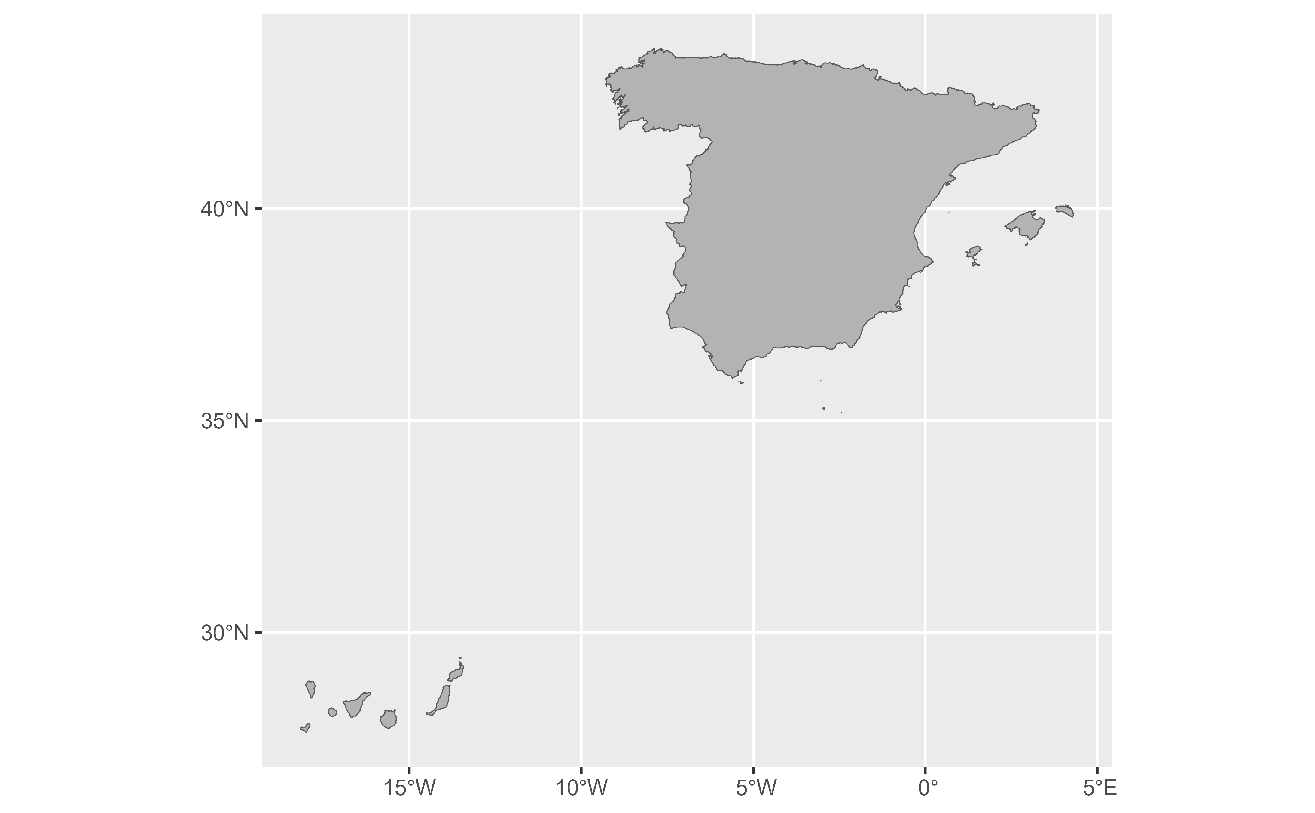
original_can <- esp_get_spain(moveCAN = FALSE)
# One row only.
original_can
#> Simple feature collection with 1 feature and 18 fields
#> Geometry type: MULTIPOLYGON
#> Dimension: XY
#> Bounding box: xmin: -18.15996 ymin: 27.63846 xmax: 4.320228 ymax: 43.78924
#> Geodetic CRS: ETRS89
#> # A tibble: 1 × 19
#> NUTS_ID LEVL_CODE CNTR_CODE NAME_LATN NUTS_NAME MOUNT_TYPE URBN_TYPE
#> * <chr> <int> <chr> <chr> <chr> <int> <int>
#> 1 ES 0 ES España España NA NA
#> # ℹ 12 more variables: COAST_TYPE <int>, NAME_ENGL <chr>, NAME_FREN <chr>,
#> # ISO3_CODE <chr>, SVRG_UN <chr>, CAPT <chr>, EU_STAT <chr>, EFTA_STAT <chr>,
#> # CC_STAT <chr>, NAME_GERM <chr>, geo <chr>, geometry <MULTIPOLYGON [°]>
library(ggplot2)
ggplot(original_can) +
geom_sf(fill = "grey70")
 # Less resolution.
moved_can <- esp_get_spain(moveCAN = TRUE, resolution = 20)
ggplot(moved_can) +
geom_sf(fill = "grey70")
# Less resolution.
moved_can <- esp_get_spain(moveCAN = TRUE, resolution = 20)
ggplot(moved_can) +
geom_sf(fill = "grey70")
 # }
# }