This function loads a hexbin map (sf object) or a map of
squares with boundaries of the provinces or Autonomous Communities and
Cities of Spain.
Usage
esp_get_hex_prov(prov = NULL)

esp_get_hex_ccaa(ccaa = NULL)

esp_get_grid_prov(prov = NULL)

esp_get_grid_ccaa(ccaa = NULL)Value
A sf object.
Details
Hexbin (or grid) maps have an advantage over traditional choropleth maps. In choropleths, regions with larger polygons tend to appear more prominent simply because of their size, which introduces visual bias. With hexbin maps, each region is represented equally, reducing this bias.
You can use and mix names, ISO codes, "codauto" or "cpro" codes (see
esp_codelist) and NUTS codes of different levels.
When using a code corresponding to a higher level (for example,
esp_get_prov("Andalucia")), all the corresponding units of that level are
provided (in this case, all the provinces of Andalusia).
Results are provided in EPSG:4258. Use sf::st_transform()
to change the projection.
See also
Additional boundary datasets and representations:
esp_get_comarca(),
esp_get_simpl
Examples
# \donttest{
esp <- esp_get_spain()
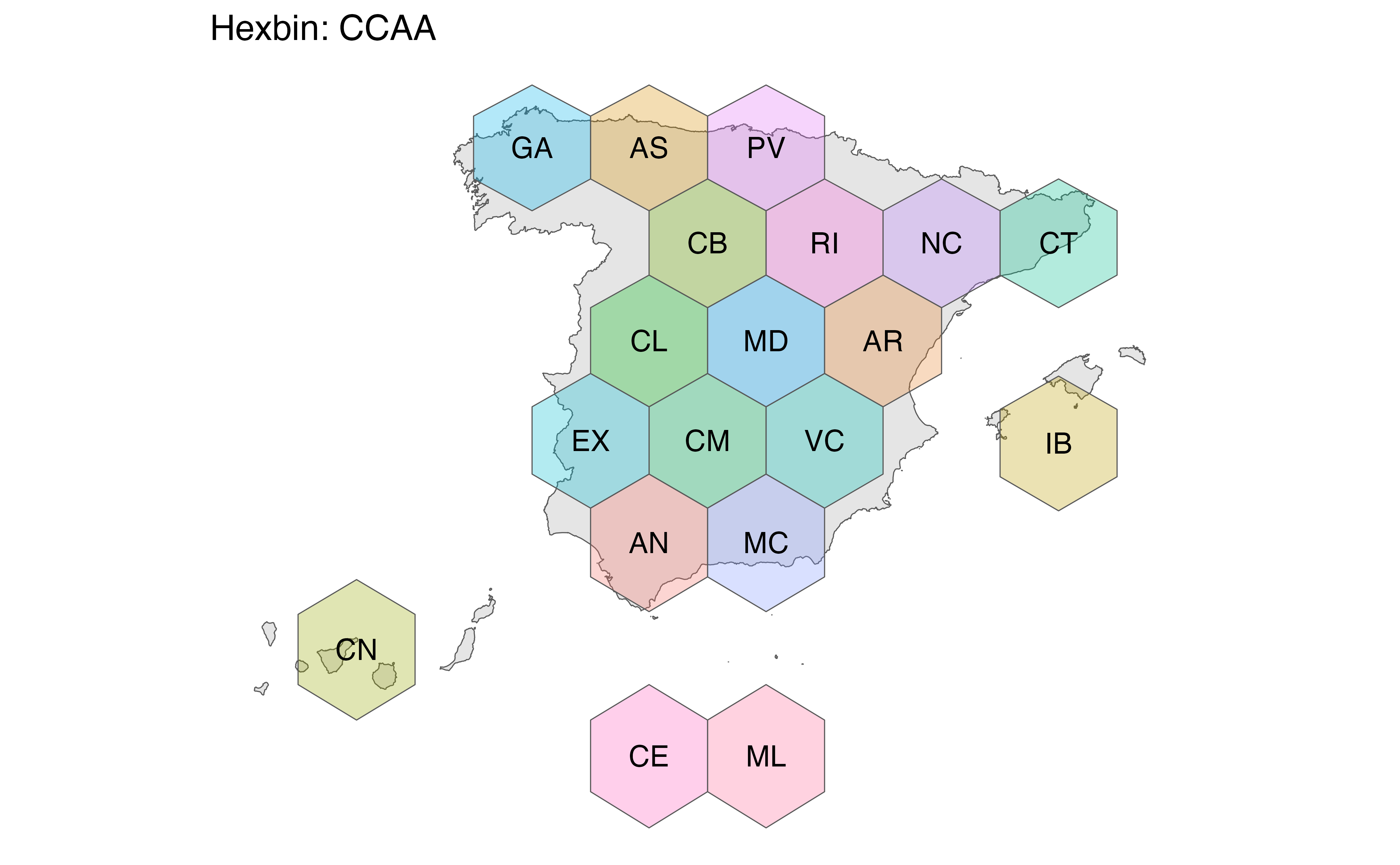
hexccaa <- esp_get_hex_ccaa()
library(ggplot2)
ggplot(hexccaa) +
geom_sf(data = esp) +
geom_sf(aes(fill = codauto), alpha = 0.3, show.legend = FALSE) +
geom_sf_text(aes(label = label), check_overlap = TRUE) +
theme_void() +
labs(title = "Hexbin: Autonomous Communities and Cities")
#> Warning: st_point_on_surface may not give correct results for longitude/latitude data
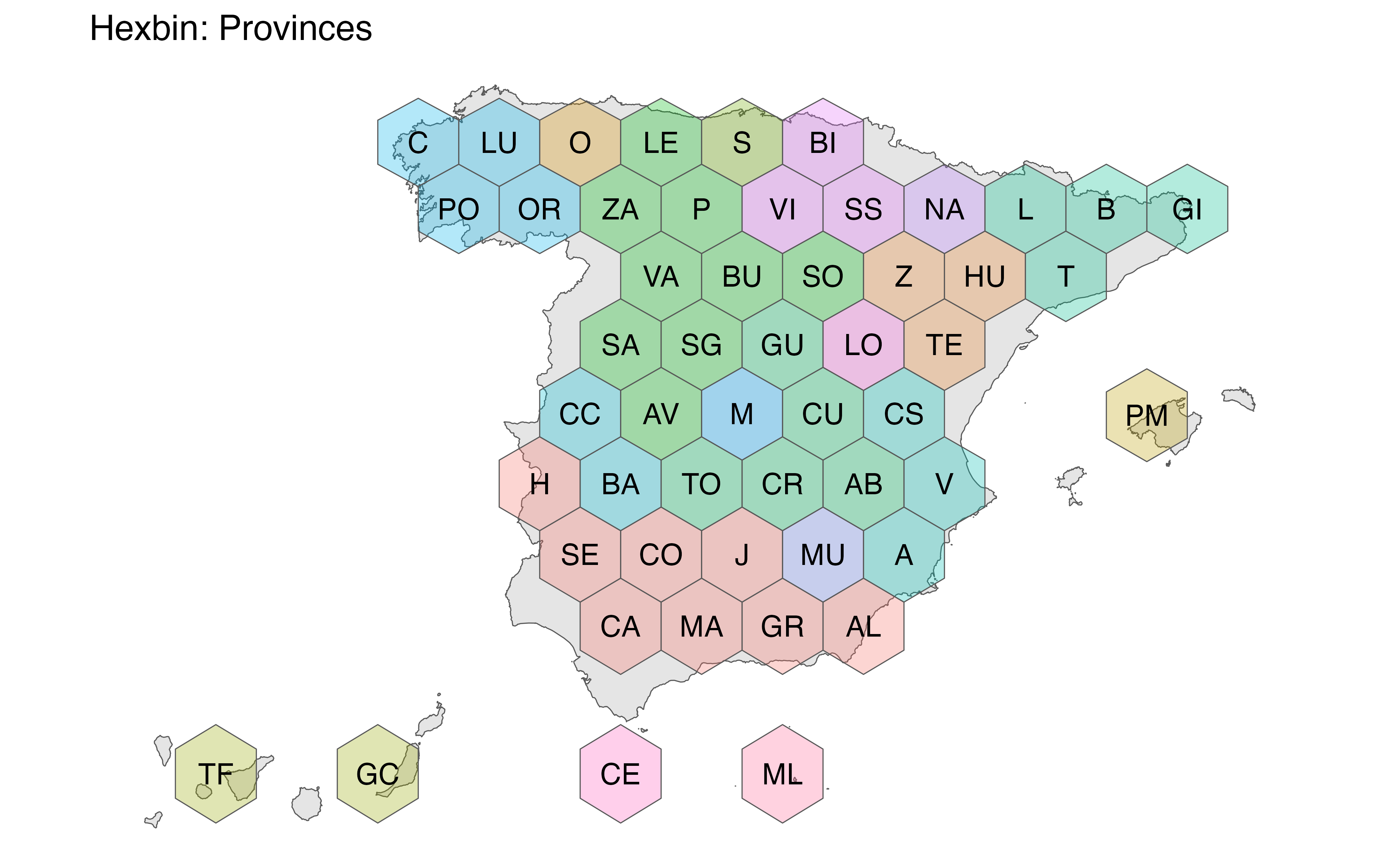
 hexprov <- esp_get_hex_prov()
ggplot(hexprov) +
geom_sf(data = esp) +
geom_sf(aes(fill = codauto), alpha = 0.3, show.legend = FALSE) +
geom_sf_text(aes(label = label), check_overlap = TRUE) +
theme_void() +
labs(title = "Hexbin: Provinces")
#> Warning: st_point_on_surface may not give correct results for longitude/latitude data
hexprov <- esp_get_hex_prov()
ggplot(hexprov) +
geom_sf(data = esp) +
geom_sf(aes(fill = codauto), alpha = 0.3, show.legend = FALSE) +
geom_sf_text(aes(label = label), check_overlap = TRUE) +
theme_void() +
labs(title = "Hexbin: Provinces")
#> Warning: st_point_on_surface may not give correct results for longitude/latitude data
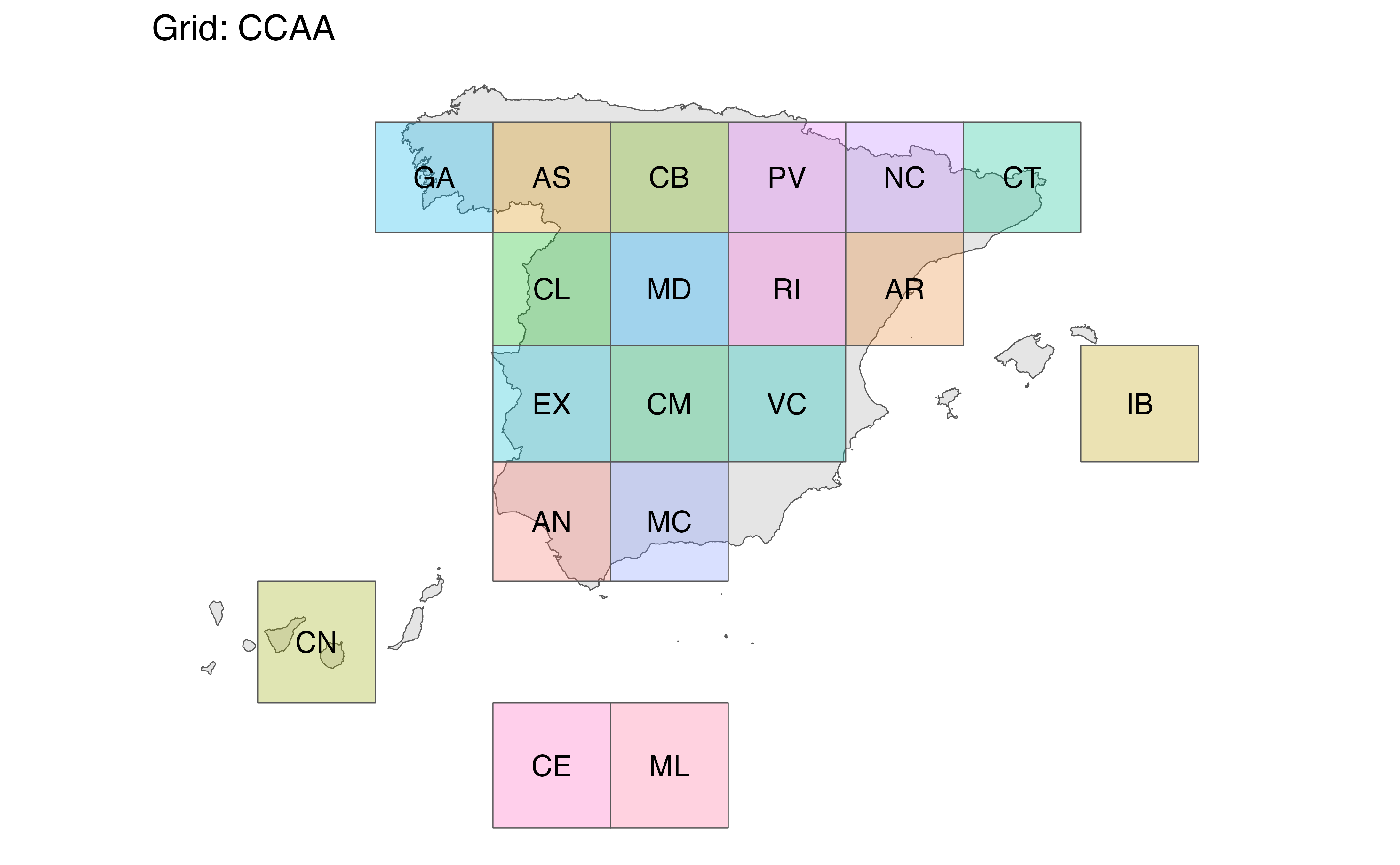
 gridccaa <- esp_get_grid_ccaa()
ggplot(gridccaa) +
geom_sf(data = esp) +
geom_sf(aes(fill = codauto), alpha = 0.3, show.legend = FALSE) +
geom_sf_text(aes(label = label), check_overlap = TRUE) +
theme_void() +
labs(title = "Grid: Autonomous Communities and Cities")
#> Warning: st_point_on_surface may not give correct results for longitude/latitude data
gridccaa <- esp_get_grid_ccaa()
ggplot(gridccaa) +
geom_sf(data = esp) +
geom_sf(aes(fill = codauto), alpha = 0.3, show.legend = FALSE) +
geom_sf_text(aes(label = label), check_overlap = TRUE) +
theme_void() +
labs(title = "Grid: Autonomous Communities and Cities")
#> Warning: st_point_on_surface may not give correct results for longitude/latitude data
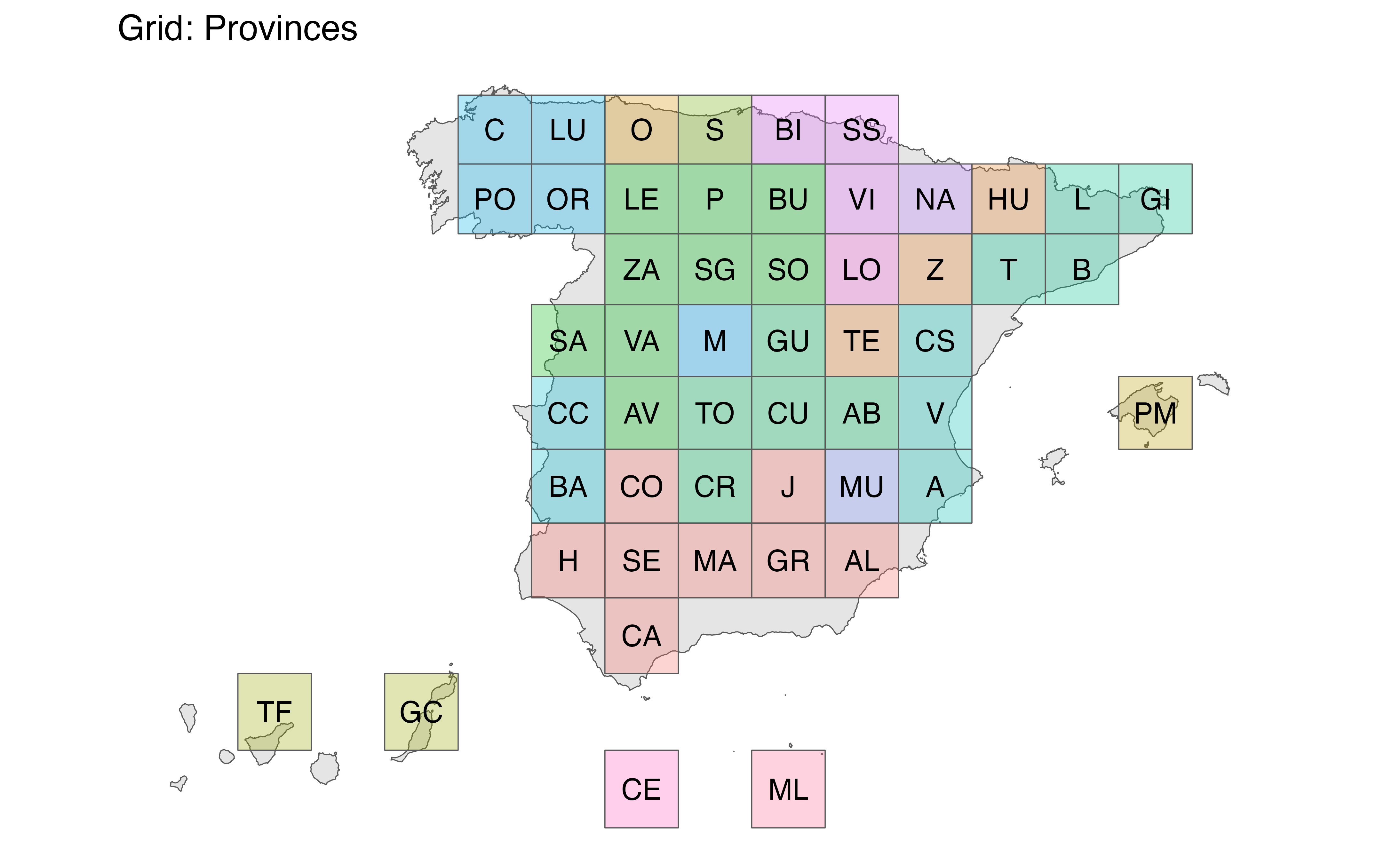
 gridprov <- esp_get_grid_prov()
ggplot(gridprov) +
geom_sf(data = esp) +
geom_sf(aes(fill = codauto), alpha = 0.3, show.legend = FALSE) +
geom_sf_text(aes(label = label), check_overlap = TRUE) +
theme_void() +
labs(title = "Grid: Provinces")
#> Warning: st_point_on_surface may not give correct results for longitude/latitude data
gridprov <- esp_get_grid_prov()
ggplot(gridprov) +
geom_sf(data = esp) +
geom_sf(aes(fill = codauto), alpha = 0.3, show.legend = FALSE) +
geom_sf_text(aes(label = label), check_overlap = TRUE) +
theme_void() +
labs(title = "Grid: Provinces")
#> Warning: st_point_on_surface may not give correct results for longitude/latitude data
 # }
# }