Return provinces of Spain at a specified scale.
Source
CartoBase ANE (Atlas Nacional de España) provided by Instituto Geográfico Nacional (IGN), https://www.ign.es/web/ign/portal. Data are available from 2005 to the present.
Copyright: https://centrodedescargas.cnig.es/CentroDescargas/cartobase-ane
Always acknowledge authorship using the following statements:
When the original digital product is not modified or altered, use one of the following statements:
CartoBase ANE 2006-2024 CC-BY 4.0 ign.es.
CartoBase ANE 2006-2024 CC-BY 4.0 Instituto Geográfico Nacional.
When a new product is generated:
Obra derivada de CartoBase ANE 2006-2024 CC-BY 4.0 ign.es.
Data distributed through the sianedata data branch, see
https://github.com/rOpenSpain/mapSpain/tree/sianedata.
Arguments
- prov
A vector of names, codes or both for provinces, or
NULLto get all the provinces. See Details.- year
Character string or number. Release year. It must use format
YYYY(assuming end of year) orYYYY-MM-DD. Historical information starts as of 2005.- epsg
Character string or number. Projection of the map: 4-digit EPSG code. One of:
"4258": ETRS89."4326": WGS84."3035": ETRS89 / ETRS-LAEA."3857": Pseudo-Mercator.
- cache
Logical. Whether to cache downloaded files. Defaults to
TRUE. See Caching.- update_cache
Logical. If
TRUE, refreshes the cached file and forces a new download. Defaults toFALSE.- cache_dir
Character string. A path to a cache directory. See Caching.
- verbose
A logical value. If
TRUEdisplays informational messages.- resolution
Character string or number. Resolution of the geospatial data. One of:
"10": 1:10 million."6.5": 1:6.5 million."3": 1:3 million.
- moveCAN
A logical
TRUE/FALSEor a vector of coordinatesc(lat, lon). It places the Canary Islands close to Spain's mainland. Initial position can be adjusted using the vector of coordinates. See Displacing the Canary Islands inesp_move_can().- rawcols
Logical. If
TRUE, retains the raw columns of the resulting object as provided by IGN.
Value
A sf object.
Details
When using prov you can use and mix names and NUTS codes (levels 1, 2 or
3), ISO codes (corresponding to level 2 or 3) or "cpro" (see
esp_codelist).
Ceuta and Melilla are considered provinces in this dataset.
When calling a higher level, such as an Autonomous Community, Autonomous City or NUTS 1 region, all provinces of that level are added.
Caching
Functions that download data store files in cache_dir. When cache_dir
is NULL, they use the active package cache, which defaults to a temporary
directory. Set update_cache = TRUE to replace an existing cached file.
See Caching strategies in esp_set_cache_dir() to configure a
persistent cache.
See also
CartoBase ANE boundaries and utilities:
esp_get_capimun(),
esp_get_ccaa_siane(),
esp_get_countries_siane(),
esp_get_munic_siane(),
esp_get_spain_siane(),
esp_siane_bulk_download()
Examples
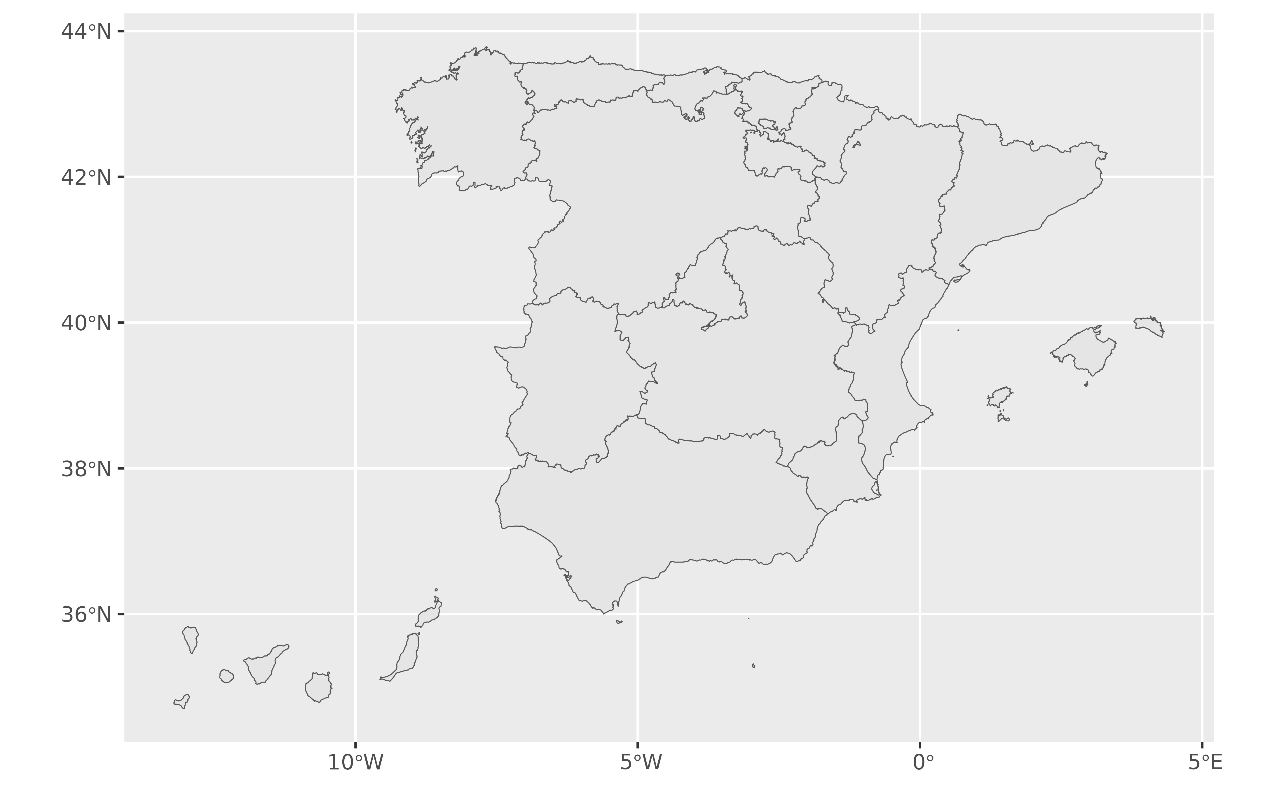
library(ggplot2)

esp_get_ccaa_siane() |>
  ggplot() +
  geom_sf()