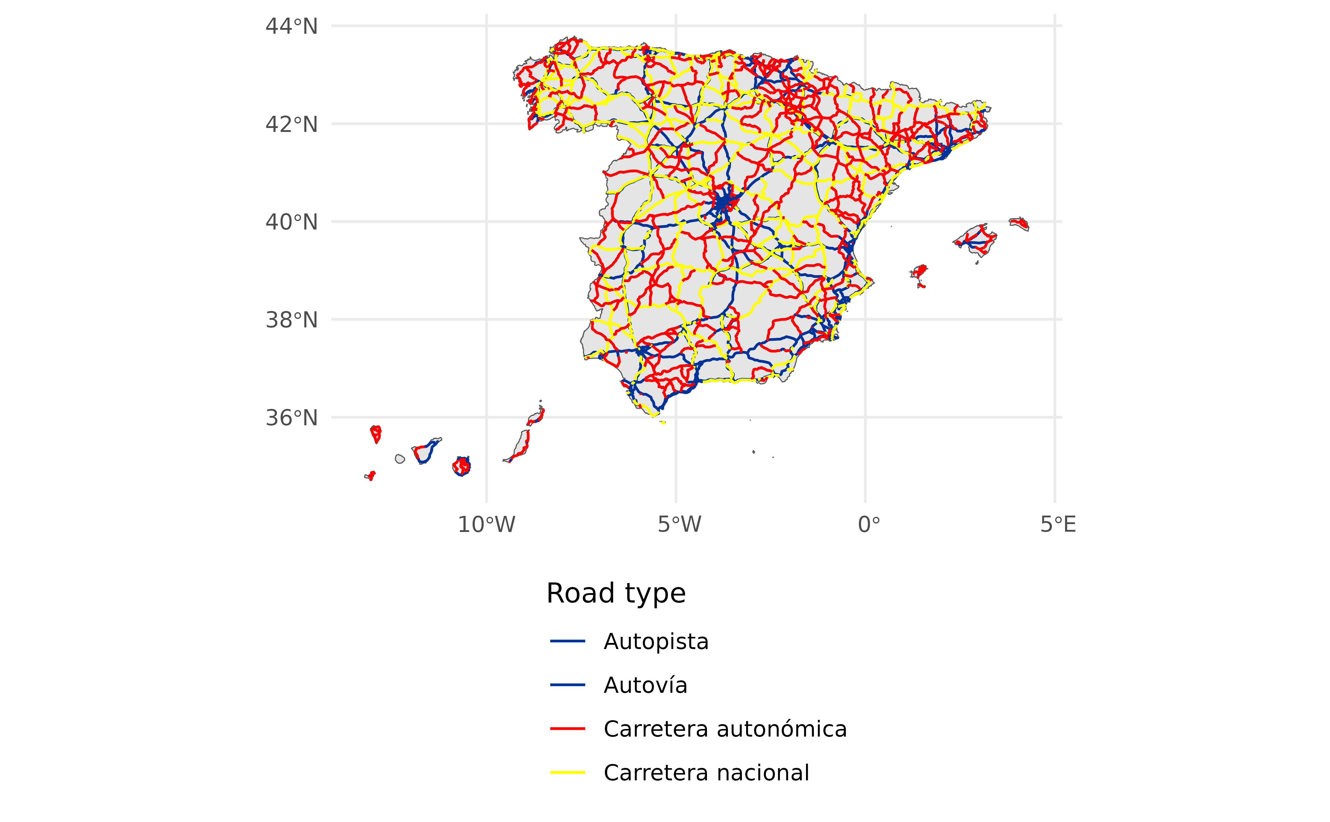
This dataset represents the main roads of Spain.
Usage
esp_get_roads(
  year = Sys.Date(),
  epsg = "4258",
  cache = TRUE,
  update_cache = FALSE,
  cache_dir = NULL,
  verbose = FALSE,
  moveCAN = TRUE
)
Source
CartoBase ANE (Atlas Nacional de España) provided by Instituto Geográfico Nacional (IGN), https://www.ign.es/web/ign/portal. Years available are 2005 up to today.
Copyright: https://centrodedescargas.cnig.es/CentroDescargas/cartobase-ane
Always acknowledge authorship using the following statements:
When the original digital product is not modified or altered, use one of the following statements:
CartoBase ANE 2006-2024 CC-BY 4.0 ign.es.
CartoBase ANE 2006-2024 CC-BY 4.0 Instituto Geográfico Nacional.
When a new product is generated:
Obra derivada de CartoBase ANE 2006-2024 CC-BY 4.0 ign.es.
Data distributed through the sianedata data branch, see
https://github.com/rOpenSpain/mapSpain/tree/sianedata.
Arguments
- year
Ignored.
- epsg
Character string or number. Projection of the map: 4-digit EPSG code. One of:
"4258": ETRS89."4326": WGS84."3035": ETRS89 / ETRS-LAEA."3857": Pseudo-Mercator.
- cache
Logical. Whether to cache downloaded files. Defaults to
TRUE. See Caching.- update_cache
Logical. If
TRUE, refreshes the cached file and forces a new download. Defaults toFALSE.- cache_dir
Character string. A path to a cache directory. See Caching.
- verbose
A logical value. If
TRUEdisplays informational messages.- moveCAN
A logical
TRUE/FALSEor a vector of coordinatesc(lat, lon). It places the Canary Islands close to Spain's mainland. Initial position can be adjusted using the vector of coordinates. See Displacing the Canary Islands inesp_move_can().
Value
A sf object.
Caching
Functions that download data store files in cache_dir. When cache_dir
is NULL, they use the active package cache, which defaults to a temporary
directory. Set update_cache = TRUE to replace an existing cached file.
See Caching strategies in esp_set_cache_dir() to configure a
persistent cache.
See also
Transport infrastructure datasets:
esp_get_railway()
Examples
# \donttest{

country <- esp_get_spain()
roads <- esp_get_roads()

library(ggplot2)

ggplot(country) +
  geom_sf(fill = "grey90") +
  geom_sf(data = roads, aes(color = t_ctra_desc), show.legend = "line") +
  scale_color_manual(
    values = c("#003399", "#003399", "#ff0000", "#ffff00")
  ) +
  guides(color = guide_legend(direction = "vertical")) +
  theme_minimal() +
  labs(color = "Road type") +
  theme(legend.position = "bottom")

# }
# }