National geographic grids from the European Soil Data Centre (ESDAC)
Source:R/esp-get-grid-ESDAC.R
esp_get_grid_ESDAC.RdThis function loads an sf POLYGON with the geographic
grids of Spain provided by the European Soil Data Centre (ESDAC).
Usage
esp_get_grid_ESDAC(
  resolution = c(10, 1),
  update_cache = FALSE,
  cache_dir = NULL,
  verbose = FALSE
)Arguments
- resolution
Numeric. Resolution of the grid in kilometers. Can be
1or10.- update_cache
Logical. If
TRUE, refreshes the cached file and forces a new download. Defaults toFALSE.- cache_dir
Character string. A path to a cache directory. See Caching.
- verbose
A logical value. If
TRUEdisplays informational messages.
Value
An sf POLYGON object.
Caching
Functions that download data store files in cache_dir. When cache_dir
is NULL, they use the active package cache, which defaults to a temporary
directory. Set update_cache = TRUE to replace an existing cached file.
See Caching strategies in esp_set_cache_dir() to configure a
persistent cache.
References
Panagos P., Van Liedekerke M., Jones A., Montanarella L., "European Soil Data Centre: Response to European policy support and public data requirements", (2012) Land Use Policy, 29 (2), pp. 329-338. doi:10.1016/j.landusepol.2011.07.003 .
European Soil Data Centre (ESDAC), esdac.jrc.ec.europa.eu, European Commission, Joint Research Centre.
See also
Geographic grid data:
esp_get_grid_BDN(),
esp_get_grid_MTN()
Examples
# \dontrun{
grid <- esp_get_grid_ESDAC()
esp <- esp_get_spain(moveCAN = FALSE)
library(ggplot2)
ggplot(grid) +
geom_sf() +
geom_sf(data = esp, color = "grey50", fill = NA) +
theme_light() +
labs(title = "ESDAC Grid for Spain")
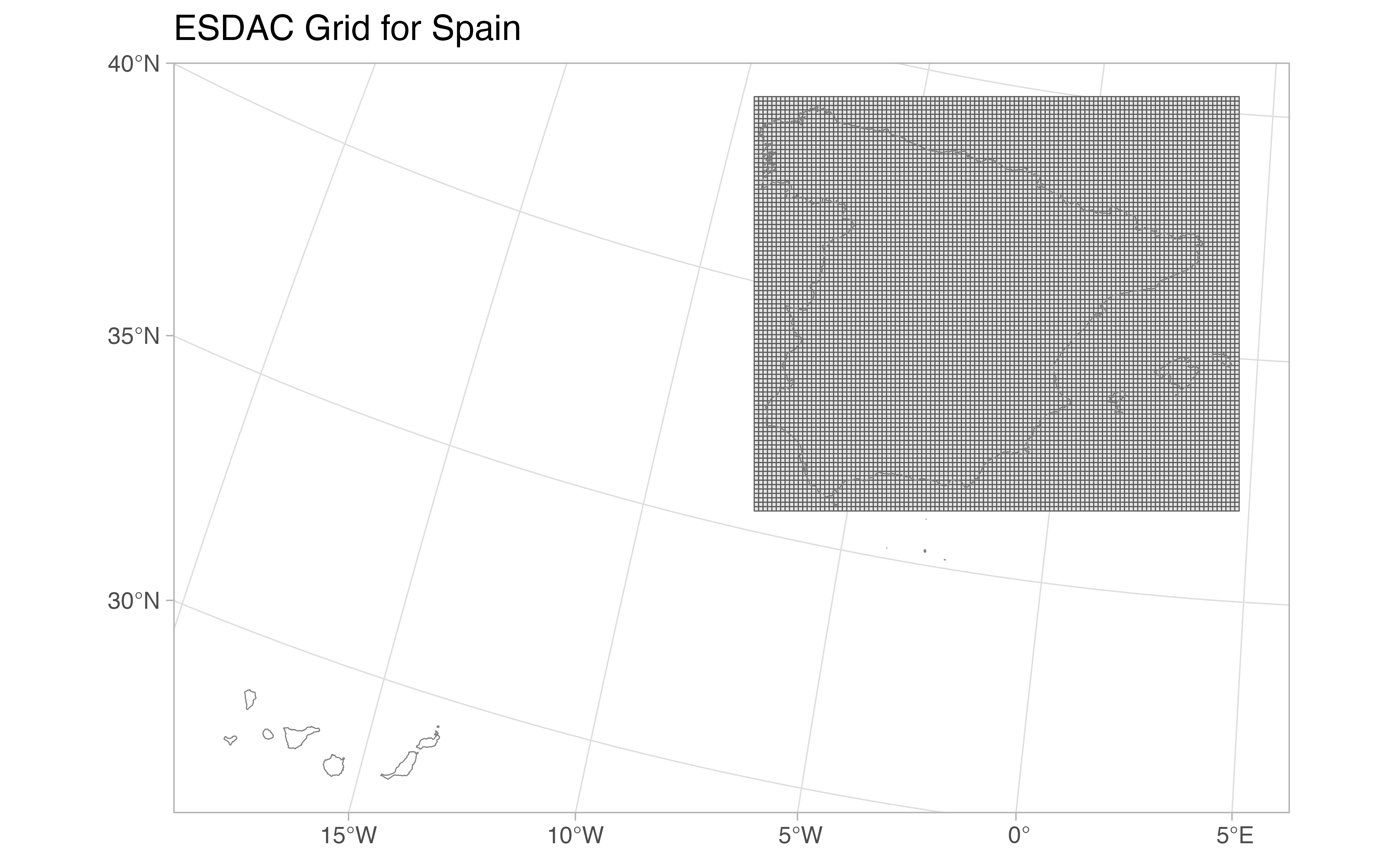 # }
# }