Download cadastral parcels of Navarre in spatial format
Source:R/wfs_cp.R
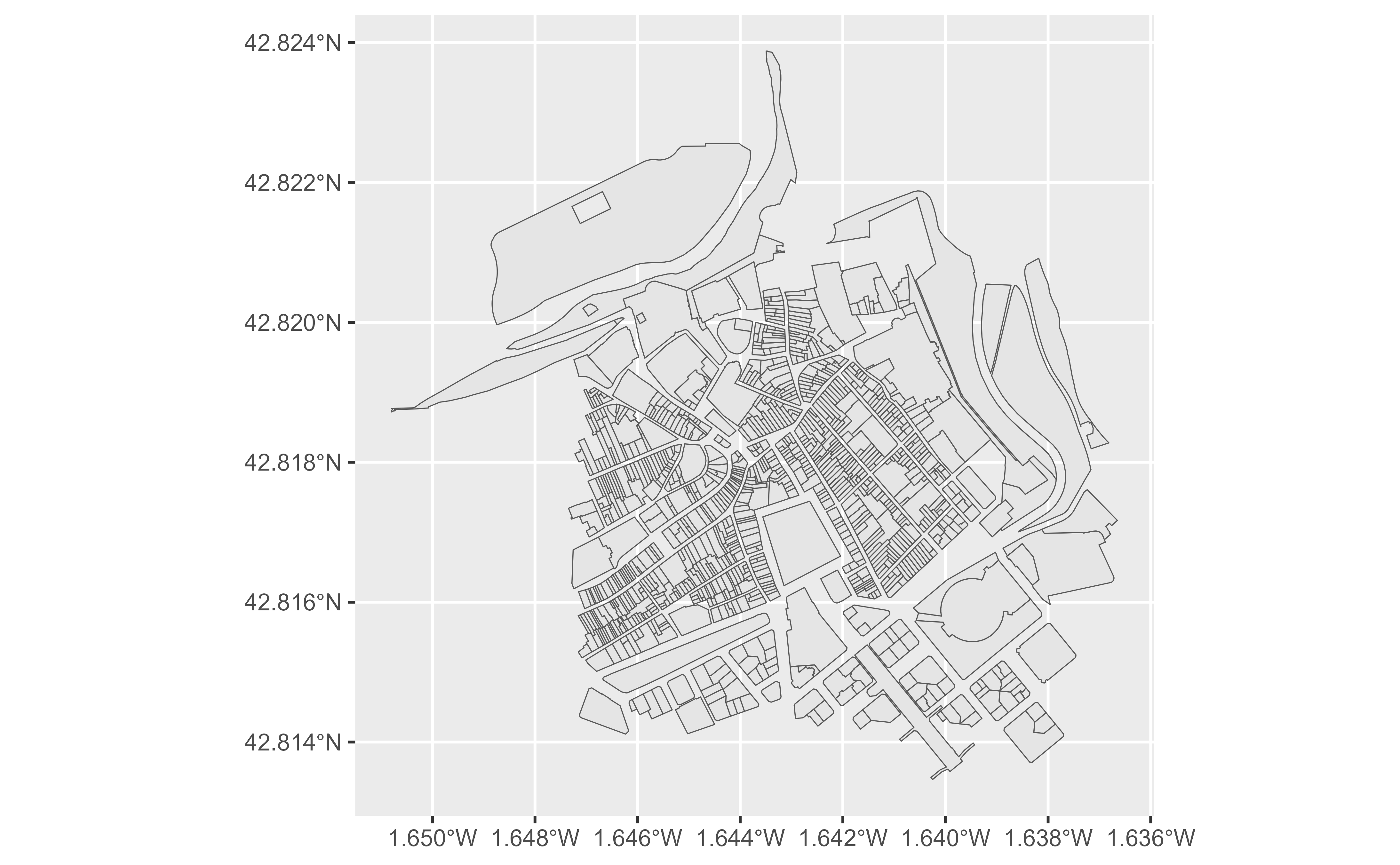
catrnav_wfs_get_parcels_bbox.RdGet the spatial data of cadastral parcels by bounding box.
Arguments
- x
See Details. It could be:
A numeric vector of length 4 with the coordinates that defines the bounding box:
c(xmin, ymin, xmax, ymax).A
sf/sfcobject, as provided by the sf package.
- srs
SRS/CRS to use on the query. See Details.
- verbose
Logical, displays information and is useful for debugging. Default is
FALSE.- count
integer, indicating the maximum number of features to return. The default value
NULLdoes not pass this argument to the query. The maximum number of features is determined by the API service default (5,000 in this case).
Value
A sf object.
Details
When x is a numeric vector, make sure that the srs matches the coordinate
values. Additionally, when the srs correspond to a geographic reference system
(4326, 4258), the function queries the bounding box on
EPSG:25830 - ETRS89 / UTM zone 30N. The result is
provided always in the SRS provided in srs.
When x is a sf object, the value srs is ignored. The query is
performed using EPSG:25830 (ETRS89 / UTM zone 30N) and
the spatial object is projected back to the SRS of the initial object.