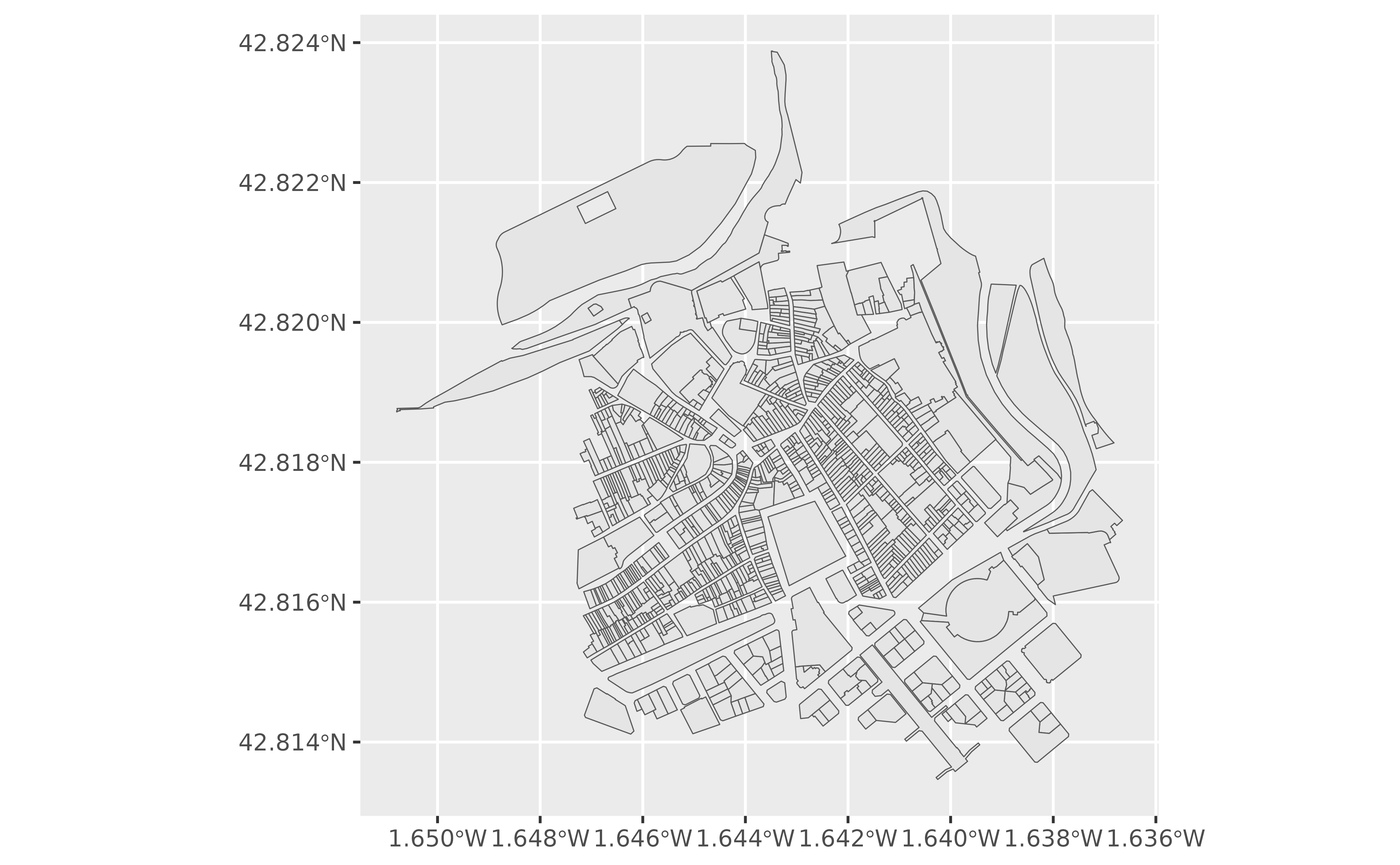
Retrieves spatial cadastral parcel data from the Cadastre of Navarre WFS
INSPIRE service. catrnav_wfs_get_parcels_bbox() retrieves features within
the supplied bounding box. See Bounding box.
Arguments
- x
Input defining the query area. See Bounding box. It can be:
- srs
The CRS to use for the query. Defaults to
4326. See Bounding box.- verbose
Logical. Whether to display informational messages.
- count
A positive whole number specifying the maximum number of features to return. If
NULL, the service default applies.
Details
Responses are cached in the wfs_inspire_cache subdirectory of the
catrnav_set_cache_dir() cache. Repeated queries reuse the cached file.
Clear the cache with catrnav_clear_cache() to download fresh results.
API limits
The service returns a maximum of 5,000 features by default. Use count to
request a smaller result.
Bounding box
When x is a numeric vector, make sure that srs matches the coordinate
values. The function queries the bounding box in
EPSG:25830, ETRS89 / UTM zone 30N, then transforms the
result back to srs.
When x is an sf or sfc object, srs is ignored.
The object's bounding box is used for the query and the result is transformed
back to the input CRS. See sf::st_bbox().
See also
catrnav_atom_get_parcels() downloads all cadastral parcels for a
municipality.
catrnav_wms_get_layer() retrieves a georeferenced map image rather than
individual spatial features.
Query WFS INSPIRE services:
catrnav_wfs_get_address_bbox(),
catrnav_wfs_get_buildings_bbox()
Work with cadastral parcels:
catrnav_atom_get_parcels(),
catrnav_atom_get_parcels_db_all(),
catrnav_wms_get_layer()